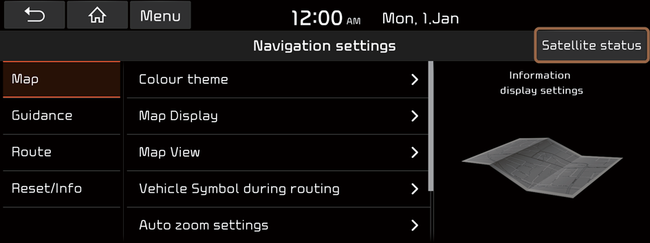
Configuring the navigation settings
You can configure the navigation settings to customise the navigation operations, screen display, and other settings.
- On the All menus screen, press Settings ▶ Navigation.
The navigation settings screen appears.
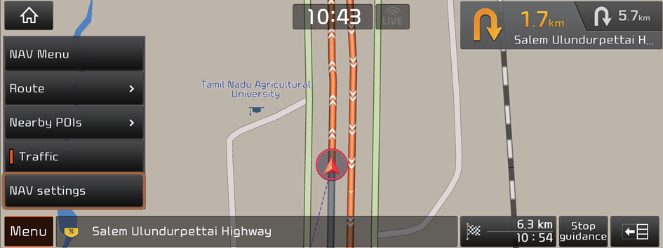
- From the map screen, press
 ▶ NAV settings to display the navigation settings screen.
- From the map screen, press
- Configure the settings required:
Satellite status
You can check the GPS satellite status and coordinates of the current location.
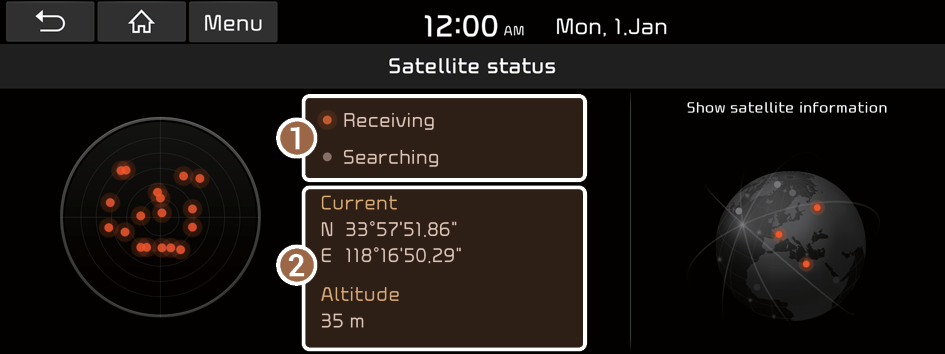
The following information appears:
- Check the status of the satellite signals.
- • Receiving: Satellite signals are being received and the current location is recognized.
- • Searching: The system is scanning the satellite signals.
- Check the current location.
Map
You can set the information to display on the navigation map screen.

Colour theme
You can change the colour themes.
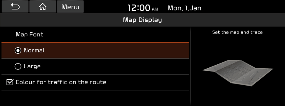
Map Display
You can change the map font size and enable or disable the traffic status in colour on the route.
Map View
You can configure the settings to display 3D buildings.
Vehicle Symbol during routing
You can change the vehicle symbol style.
Auto zoom settings
You can set the scales for each vehicle speed zone.
- For example, when you select "100 m" for the "21–50 km/h" zone and "300 m" for the "51–80 km/h" zone, the unit interval for the map scale on the navigation screen becomes 100 m when the vehicle speed is 50 km/h and 300 m when the vehicle speed is 51 km/h.
Return to map
You can set the system to automatically display the map screen after a specific period of time when switched to the Radio/Media mode screen while using the navigation.
- This function works while driving once a destination has been set.
- This function is not available on the phone projection screen.
Automatic return after scrolling
You can set the system to automatically display the current location when 15 seconds elapses after dragging and moving to another location on the map.
Guidance
You can configure the navigation guidance settings.
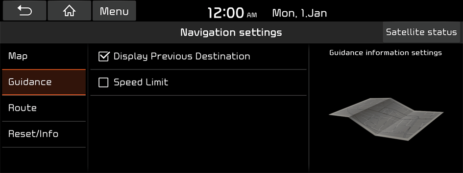
Display Previous Destination
You can set to display the previous destinations on a pop-up screen when the navigation starts.
Speed Limit
You can set to display the speed limit.
Route
You can set the route plan with all options and simulations.
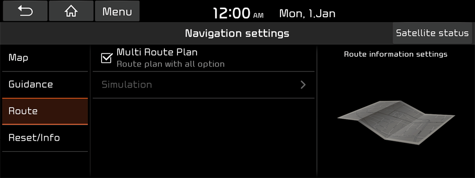
Multi Route Plan
You can set multiple route plans with all options.
Simulation
You can use the simulation function only when the vehicle is stationary and the destination is set on the map.
Reset/Info
You can initialize the settings of the navigation system and check the system version.
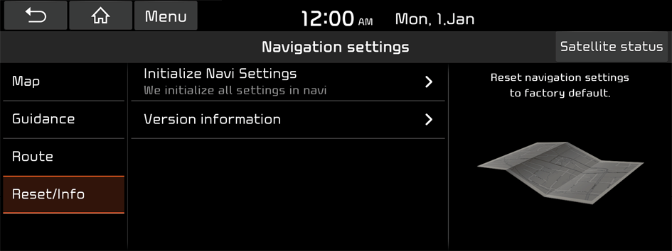
Initialize Navi Settings
You can initialize all the settings of the navigation system.
Version information
You can check the version of the navigation system.


